
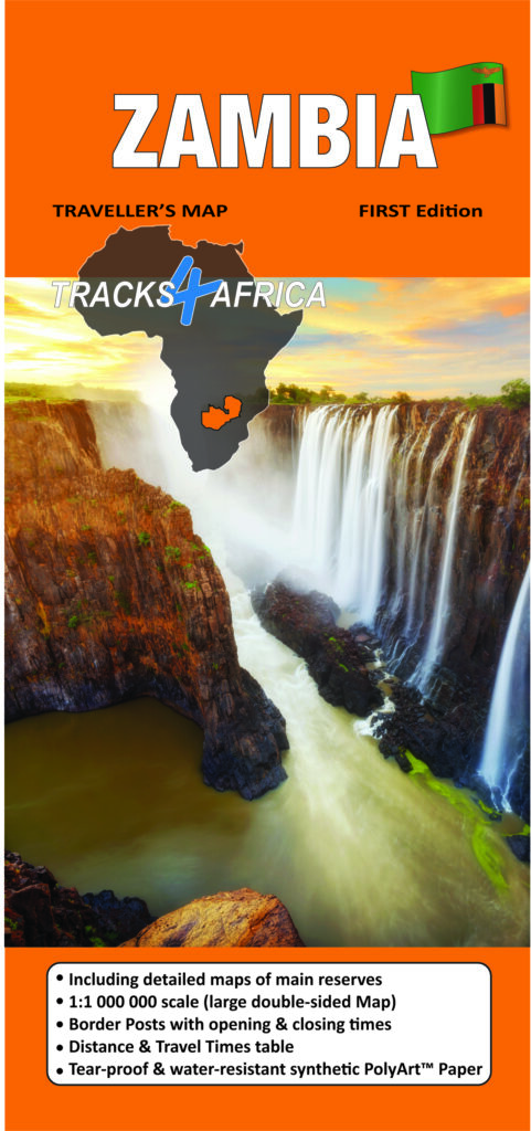
Product Description
Tracks4Africa builds its maps specifically for self-drive travellers, packing them with information to help you plan your next adventure. Additionally, the Zambia Traveller’s Paper Map 1st Edition pairs seamlessly with the T4A GPS Map of Zambia.
You don’t need to transfer GPS coordinates manually because our T4A GPS Maps already include everything shown on the paper map. Therefore, you can use the T4A GPS Maps to navigate directly to every destination featured.
The map scale is 1:1 000 000. This gives you enough detail but also allows for an overview of the country.
Discover Zambia: The Most Up-to-Date Tracks4Africa Paper Map for Self-Drive Travellers
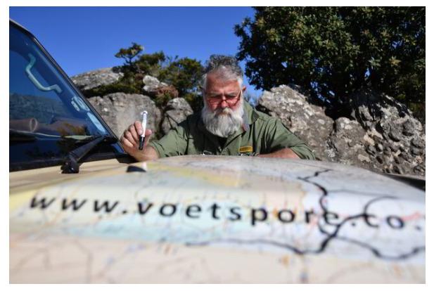
Tracks4Africa CEO, Johann Groenewald, has spent the last nine years exploring all corners of this evergreen country. He fell in love with its unspoilt beauty.
After years of updating our GPS maps and sending research teams to verify minor roads and park tracks, Tracks4Africa has finally published its Zambia paper map. At a 1:1 million scale, it now stands as the most up-to-date printed map available for self-drive travellers.
You’ll find all major and minor roads included, along with an extensive network of gravel and off-road tracks in rural areas. Additionally, the map covers all national parks and game reserves. It features detailed inserts for prominent parks like Kafue, Liuwa Plain, and South Luangwa. It also highlights major tourist attractions and landmarks.
Because Zambia’s shape doesn’t fit on one side of standard paper, we print the map at a detailed 1:1 million scale. Therefore, we split the country into east and west sections. We print these on both sides of the paper to include all the necessary details.
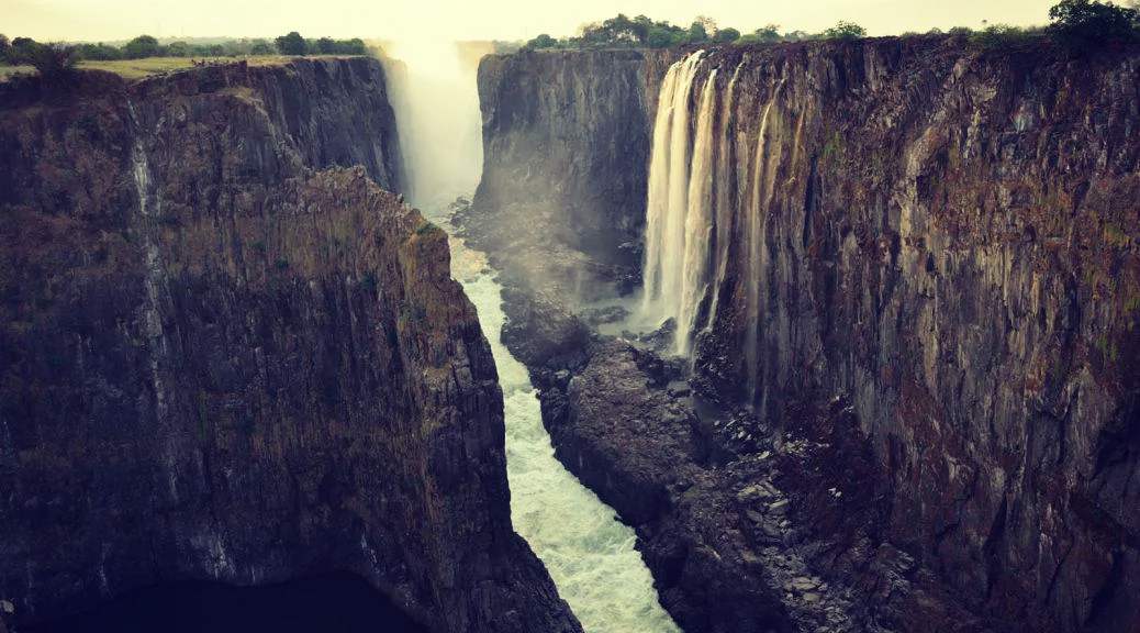
This design provides extra space on the Zambia Traveller’s Paper Map 1st Edition. It includes popular neighboring areas like Katima Mulilo in Namibia. Also, it covers Kasane and Chobe in Botswana, and Victoria Falls and Mana Pools in Zimbabwe.
Key features:
- Large 1:1,000,000 scale (large double-sided map)
Travel times and distances shown on roads - Large paper map, printed on both sides. It folds down to an easy-to-use size. Packed in a plastic sleeve for extra protection.
- When unfolded this map is 1000x1265mm.
- What you see on the paper map is exactly what you get on T4A GPS Maps
- Comprehensive set of roads and tracks in nature reserves
- Map designed to suit the needs of self-drive travellers
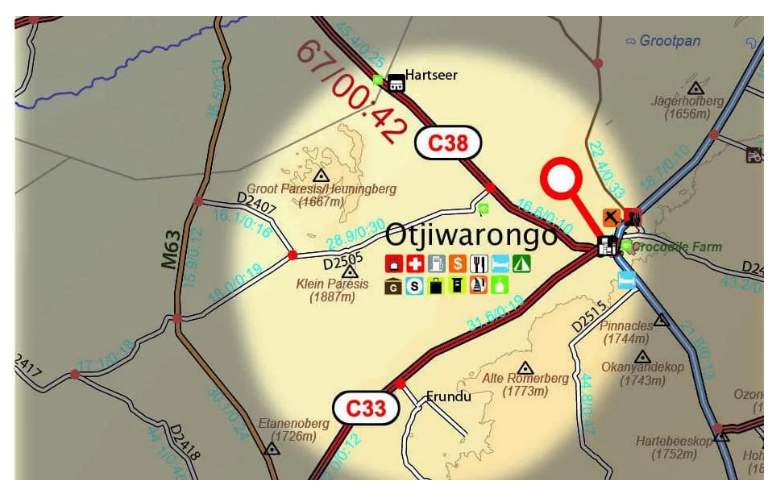
- Border crossings indicated with opening and closing times
- Visit www.tracks4africa.com for detail on places of interest
- We print the map on durable PolyArt material. This material is tear and water resistant. Therefore, it will survive your adventures with you.
- Shaded relief background
Over the past 10 years, the Tracks4Africa community has collectively recorded and verified every road using GPS. As a result, the roads, tracks, places of interest, distance data, and travel time estimates on the Zambia Traveller’s Paper Map 1st Edition, accurately reflect their real-world travel experience.
In fact, the T4A paper map series is likely the world’s first comprehensive country map to offer travel time information. This is true for the entire road network, whether on tar, gravel, or sand!
In addition to this, the Tracks4Africa research team has also driven every major road. They visited every single park in the country to verify details.


Peter Cole (verified owner) –
Despite all the electronic aids to navigation we have these days, there is still nothing quite like looking at a paper map to plan your your route. As usual T4A have produced a great product which we will use on oyur forthcoming trip to Liuwa Plains and Kafue National Parks (Lockdown permitting!!). A good addition to the rest of my T4A map collection. Keep traveling with T4A, Peter Cole
Robert Frey (verified owner) –
Great Map, very easy to fine good relevant information to plan a trip!
Great to use in combination with the digital version on Garmin BaseCamp and my GPS!
Terry Cowan (verified owner) –
Extremely detailed and comprehensive map of Zambia, very satisfied with usual high quality paper that stands up to rigorous use on overland travels. We have come to rely on T4A paper maps and of course T4A on our Garmin. Incidentally we should have been in Zambia at the moment (May) but CV-19 forced us to cancel/postpone this years trip.
Janine Reyneke –
Hi Terry. Thanks for that – and sorry to hear your Zambia trip was cancelled. Keep a look out later this year or early next year for our Zambia self-drive guide book!
Stephen Dominic (verified owner) –
This is an extremely detailed and comprehensive map of Zambia. I am presently planning my first visit to Zambia in November and this is exactly what I needed. I am now the proud owner of the complete range of Tracks4Africa maps. I would not want to travel without them.
Janine Reyneke –
Wow! thanks Stephen!
Greg Woodbridge (verified owner) –
Got mine last night, has all the details and info required to plot your way around Zambia.
Good details on the National Parks too.
Chris Heptinstall (verified owner) –
Great map. Absolutely huge and very detailed. It arrived in Australia within a week. Postage and handling was extortionate, but otherwise I’m very happy. Something for me to treasure.
roy farquharson (verified owner) –
Maybe old fashioned what with GPS but my believe is never be without a good map and I just bought a great one. Spent many happy years in Ndola growing up in the sixties and am planning a trip back there and to south Luangwa.
Brian Cooper (verified owner) –
Service gets 5 stars, little disappointed that the map shows lodges but does not show all the campsites. We are planning a trip to south Luangwa as well as Bengweulu wetlands at the end of May, and not knowing where to camp, makes it difficult to find, as one has to zoom in to 200m on the map (as always) and try to scroll and find campsites. If there is a lodge with a campsite such as Wildlife Camp near south Luangwa, which only shows a lodge, the map should also show a campsite there as well. Hope this info helps, regards. Brian
Janine Reyneke –
Hi Brian
Thanks very much for your input. So how the icons on our paper maps work – the blue icon with a bed indicates a lodge, the green icon with a tent indicates camping, and then if there is lodging and camping we indicate this in a green icon with a bed in it. So a green icon with a bed in it means there is both camping and lodging.
I’m not sure sure if your comments is referring to our paper map or gps map as you mention zooming in. On our gps map there are now many more campsites as we are researched this for our zambia paper map and upcoming zambia guide book. Wildlife Camp is most definately on our gps maps and is indicated on our paper map as explained above.
best regards, Janine